Radar, forecasters and spotters
Forecasters can tell when the weather is right for tornadoes. Pinning down exactly where one will touch down is still out of reach.
Forecasting
Forecasters at NOAA’s Storm Prediction Center issue daily outlooks for severe thunderstorms across the USA. NOAA NSSL: Tornado forecasting In the USA, the Storm Prediction Center issues tornado watches; local National Weather Service offices issue warnings. NOAA NSSL: Tornado FAQ
Forecasters can say when conditions are right for tornadoes, but not yet exactly when and where one will form, how strong it will be or its precise path. NOAA NSSL: Tornado FAQ
The first forecast
The first documented successful tornado forecast was on 25 March 1948, by US Air Force officers Robert Miller and Ernest Fawbush, at Tinker Air Force Base in Oklahoma. NOAA Storm Prediction Center: The online tornado FAQ
Before 1950, the US Weather Bureau at times discouraged or banned the word “tornado” in forecasts, for fear of causing panic. NOAA Storm Prediction Center: The online tornado FAQ
Radar
On radar, a “hook echo” is a hook shape on the back of a storm. It often goes with a mesocyclone and means conditions are right for a tornado. NOAA NSSL: Tornado detection
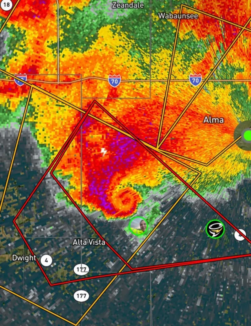
NSSL discovered the Tornado Vortex Signature (TVS): a tight spin on Doppler radar that can appear several kilometres up before a tornado touches down. NOAA NSSL: Tornado detection
Dual-polarisation radar can spot debris such as leaves and insulation in the air, which is especially useful at night. NOAA NSSL: Tornado detection
In 1973, NSSL researchers used radar to watch the whole life of a tornado, at Union City, Oklahoma. NOAA Education: Tornadoes
Mobile radar and research
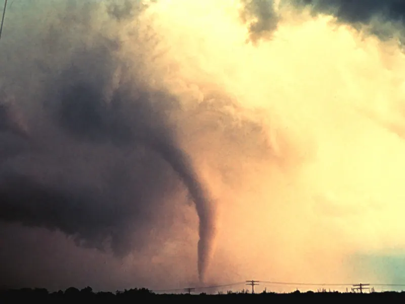
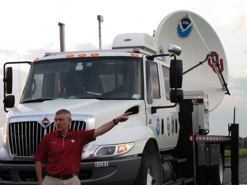
A mobile Doppler radar measured winds of about 301 mph (give or take 20 mph) just above the ground in the 3 May 1999 Bridge Creek–Moore tornado in Oklahoma: the highest winds ever found near Earth’s surface. NOAA Storm Prediction Center: The online tornado FAQ
In the 1980s NSSL tried to put a 55-gallon drum full of instruments, called TOTO, in a tornado’s path. The film Twister was based on that work. NOAA NSSL: Tornado FAQ
Spotters and chasers
Storm spotters are trained volunteers who report what they see to the National Weather Service. In the USA the network is called SKYWARN. NOAA NSSL: Tornado FAQ Spotters report live to forecasters. Chasers travel long distances after storms for research, photography or the media. NOAA Storm Prediction Center: The online tornado FAQ
Could we stop one?
We can’t stop tornadoes. Anything powerful enough to break one up would do more damage than the tornado itself. NOAA NSSL: Tornado FAQ
Next: records and history →